 Kontakt
 Ako nakupovať
Doručenie
Nákupný poradca
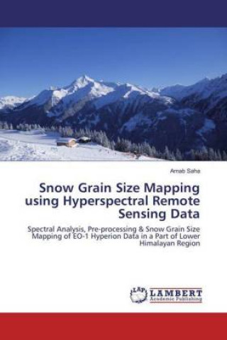
Snow Grain Size Mapping using Hyperspectral Remote Sensing Data
Spectral Analysis, Pre-processing & Snow Grain Size Mapping of EO-1 Hyperion Data in a Part of Lower Himalayan Region
 Angličtina
 78 b
78 b
30 dní na vrátenie tovaru
Zákazníci tiež kúpili


 /
/
 Brožovaná
 53.60
€
53.60
€


 /
Brožovaná
35.39
€
/
Brožovaná
35.39
€


Snow is the part of atmosphere in the climate system of the earth and its physical parameters play an important role in hydrological and climate models. The present study explained that the imaging spectroscopy to produce the snow cover maps and estimation of snow grain size in the North-Western Himalayan region. It is necessary to develop an approach to map snow cover, snow grain size spatially using advance remote sensing technique. Remote sensing techniques can provide spatial information of a large extent at good temporal scale. In the present study, one of the important snow physical parameters (i.e snow grain size) has been estimated using Spectral angle mapper (SAM) classification method and Grain index (GI) method. Study was carried out by using NASA's hyperspectral EO-1 Hyperion sensor data of 12th January and 23rd January 2016 were used to map grain size of snow. The snow map generating for dry snow, small grain size snow, medium grain size snow, large grain size snow and wet snow classes. This study is of importance in this mapping of snow-cover characteristics, which can provide valuable input for climatology, hydrology, and mountain hazard applications.


Informácie o knihe
Angličtina

Darujte túto knihu ešte dnes
Je to jednoduché
1 Pridajte knihu do košíka a vyberte možnosť doručiť ako darček 2 Obratom Vám zašleme poukaz 3 Knihu zašleme na adresu obdarovanéhoMohlo by vás tiež zaujímať


 /
Brožovaná
14.05
€
/
Brožovaná
14.05
€


 /
Brožovaná
23.76
€
/
Brožovaná
23.76
€
 /
Pevná
32.16
€
/
Pevná
32.16
€

 /
Pevná
254.40
€
/
Pevná
254.40
€

Ahoj! Som Libroamiko, tvoj knižný radca.
Ako ti môžem pomôcť?