
 Kontakt
 Ako nakupovať
Doručenie
Nákupný poradca
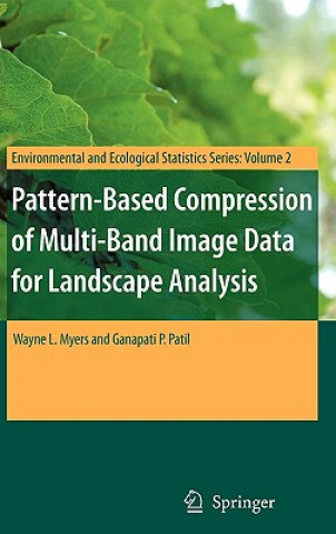
Pattern-Based Compression of Multi-Band Image Data for Landscape Analysis
 Angličtina
 267 b
267 b
Až 30 dní na vrátenie tovaru
Zákazníci tiež kúpili


 /
/
 Pevná
Pevná
 64.52
€
64.52
€



 /
Brožovaná
10.54
€
/
Brožovaná
10.54
€



 /
Brožovaná
136.39
€
/
Brožovaná
136.39
€

This book describes an integrated approach to using remotely sensed data in conjunction with geographic information systems for landscape analysis. Remotely sensed data are compressed into an analytical image-map that is compatible with the most popular geographic information systems as well as freeware viewers. The approach is most effective for landscapes that exhibit a pronounced mosaic pattern of land cover. The image maps are much more compact than the original remotely sensed data, which enhances utility on the internet. As value-added products, distribution of image-maps is not affected by copyrights on original multi-band image data.


Informácie o knihe
Angličtina
Kategórie

Darujte túto knihu ešte dnes
Je to jednoduché
1 Pridajte knihu do košíka a vyberte možnosť doručiť ako darček 2 Obratom Vám zašleme poukaz 3 Knihu zašleme na adresu obdarovanéhoMohlo by vás tiež zaujímať




















Ahoj! Som Libroamiko, tvoj knižný radca.
Ako ti môžem pomôcť?