Kontakt
 Ako nakupovať
Doručenie
Nákupný poradca
Geographic Information System
 Angličtina
 325 b
325 b
Až 30 dní na vrátenie tovaru
Zákazníci tiež kúpili


 /
/
 Brožovaná
 11.69
€
11.69
€


 /
Brožovaná
14.72
€
/
Brožovaná
14.72
€

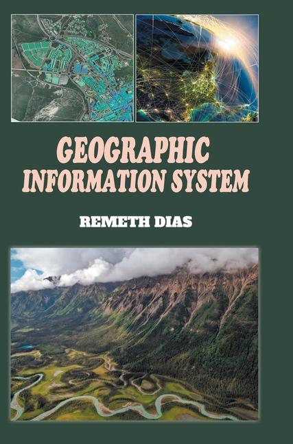
This book covers database object definitions, relationships, geometric features, and the structure of data organization in GIS. To provide a clearer understanding of GIS applications, the book presents various examples. These examples demonstrate how GIS data can be utilized, considering different data formats. For instance, one application focuses on deriving surface elevation and slope information from digital elevation model (DEM) data. DEM data represents the elevation of the Earth's surface as a grid of cells, allowing GIS users to analyze topographical characteristics and create visual representations, such as elevation maps or slope gradients. It enables readers to grasp the fundamentals of GIS and its potential applications in fields such as urban planning, environmental management, transportation, and many others. By exploring the functionalities and capabilities of GIS, users can harness its power to make informed decisions, conduct spatial analyses, and gain valuable insights from geographical data.


Informácie o knihe
Angličtina

Darujte túto knihu ešte dnes
Je to jednoduché
1 Pridajte knihu do košíka a vyberte možnosť doručiť ako darček 2 Obratom Vám zašleme poukaz 3 Knihu zašleme na adresu obdarovanéhoMohlo by vás tiež zaujímať


 /
Brožovaná
9.57
€
/
Brožovaná
9.57
€