
 Kontakt
 Ako nakupovať

Doručenie
Nákupný poradca
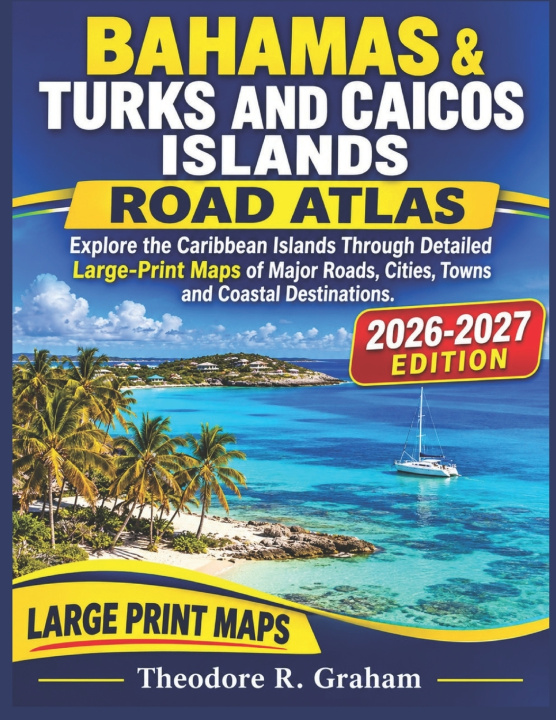
BAHAMAS & TURKS AND CAICOS ISLANDS ROAD ATLAS
Explore the Caribbean Islands Through Detailed Large-Print Maps of Major Roads, Cities, Towns and Coastal Destinations
 Angličtina
 54 b
 Pripravujeme
 Nové
Až 30 dní na vrátenie tovaru

BAHAMAS & TURKS AND CAICOS ISLANDS ROAD ATLAS
Explore the Caribbean Islands Through Detailed Large-Print Maps of Major Roads, Cities, Towns and Coastal Destinations.
Discover the remarkable islands of The Bahamas and Turks and Caicos Islands with this detailed road atlas, created for readers who want a clearer understanding of Caribbean geography, road networks, settlements and important destinations.
From the vibrant streets of Nassau and Freeport to the beautiful island communities of Providenciales and Grand Turk, this atlas brings together essential geographical information in an accessible, easy-to-read map collection.
INSIDE THIS ATLAS, YOU WILL FIND:
Detailed Road Maps: Explore major roads, regional routes and important transportation connections across the islands.
Major Cities and Towns: Locate important population centres, settlements and communities throughout both territories.
Island and Coastal Coverage: Examine the geographical layout of the islands, coastal areas and significant destinations.
Large-Print Map Details: Enjoy clearly presented map information designed for comfortable reading and easier reference.
Regional Geographical Information: Develop a better understanding of the locations and connections between the different islands.
Whether you are planning a Caribbean holiday, researching island geography, exploring road networks or simply expanding your geographical knowledge, this atlas offers a practical collection of maps covering two fascinating Caribbean destinations.
Explore The Bahamas. Discover Turks and Caicos. See more of the Caribbean through detailed maps.


Informácie o knihe
Angličtina

Darujte túto knihu ešte dnes
Je to jednoduché
1 Pridajte knihu do košíka a vyberte možnosť doručiť ako darček 2 Obratom Vám zašleme poukaz 3 Knihu zašleme na adresu obdarovanéhoAhoj! Som Libroamiko, tvoj knižný radca.
Ako ti môžem pomôcť?