
 Kontakt
 Ako nakupovať
Doručenie
Nákupný poradca
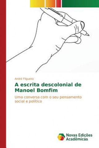
escrita descolonial de Manoel Bomfim
 Portugalčina
 166 b
166 b
Až 30 dní na vrátenie tovaru
Zákazníci tiež kúpili


























 /
/
 Pevná
Pevná
 103.57
€
103.57
€

 /
Brožovaná
84.43
€
/
Brožovaná
84.43
€

Different rangelands have different characteristics as indicated by soil features and vegetation patterns. These differences can be identified using remote sensing methods. The process based on using these differences as a base for remote sensing identification at different sites. Differentiation considered both spatial and temporal variations and hence data for different sites and times were used to achieve this. Since remote sensing can be used to distinguish between different characteristics of range sites, then could be used to assess and monitor rangeland in semi arid areas. Successful identification will help for assessment and monitoring large rangelands based on this principle. Justification is that terrestrial measurements and assessment for vast rangelands areas always require extensive efforts and high cost. Quantitative factors like biomass alone are not enough, therefore, more than one indicator were used like soil features and topographic features.


Informácie o knihe
Portugalčina
Kategórie

Darujte túto knihu ešte dnes
Je to jednoduché
1 Pridajte knihu do košíka a vyberte možnosť doručiť ako darček 2 Obratom Vám zašleme poukaz 3 Knihu zašleme na adresu obdarovanéhoMohlo by vás tiež zaujímať











 /
Brožovaná
51.48
€
/
Brožovaná
51.48
€



Ahoj! Som Libroamiko, tvoj knižný radca.
Ako ti môžem pomôcť?