Doručenie
Nákupný poradca


Nehodí sa? Žiadny problém! U nás môžete do 30 dní vrátiť
 Darčekový poukaz
v ľubovoľnej hodnote
S darčekovým poukazom nešliapnete vedľa. Obdarovaný si za darčekový poukaz môže vybrať čokoľvek z našej ponuky.
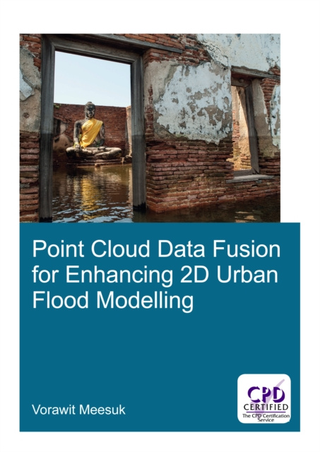
Point Cloud Data Fusion for Enhancing 2D Urban Flood Modelling
 Angličtina
 316 b
316 b
Mohlo by vás tiež zaujímať


Modelling urban flood dynamics requires proper handling of a number of complex urban features. Although high-resolution topographic data can nowadays be obtained from aerial LiDAR surveys, such top-view LiDAR data still have difficulties to represent some key components of urban features. Incorrectly representing features like underpasses through buildings or apparent blockage of flow by sky trains may lead to misrepresentation of actual flood propagation, which could easily result in inadequate flood-protection measures. Hence proper handling of urban features plays an important role in enhancing urban flood modelling. This research explores present-day capabilities of using computer-based environments to merge side-view Structure-from-Motion data acquisition with top-view LiDAR data to create a novel multi-source views (MSV) topographic representation for enhancing 2D model schematizations. A new MSV topographic data environment was explored for the city of Delft and compared with the conventional top-view LiDAR approach. Based on the experience gained, the effects of different topographic descriptions were explored for 2D urban flood models of (i) Kuala Lumpur, Malaysia for the 2003 flood event; and (ii) Ayutthaya, Thailand for the 2011 flood event. It was observed that adopting the new MSV data as the basis for describing the urban topography, the numerical simulations provide a more realistic representation of complex urban flood dynamics, thus enhancing conventional approaches and revealing specific features like flood watermarks identification and helping to develop improved flood-protection measures.
Informácie o knihe
 Angličtina


 Ako nakupovať


